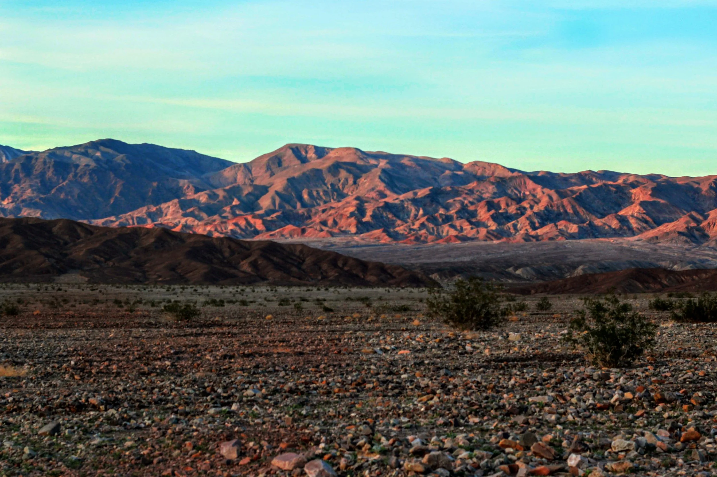
Death Valley

Death Valley is a desert valley in Eastern California, in the northern Mojave Desert, bordering the Great Basin Desert. During summer, it is one of the hottest places on Earth. This means when you stop at 7-11 get a large bag full of the biggest waters they have, not……. “Hey babe we should get a bottle of water, no the small one”.

Most of the park is protected as officially designated Wilderness and what you will find here is: low valley floors, barren salt flats, rugged mountains, winding canyons, rolling sand dunes, and the occasional spring.

Near the border of California and Nevada, in the Great Basin, east of the Sierra Nevada mountains, Death Valley constitutes much of Death Valley National Park and is the principal feature of the Mojave and Colorado Deserts Biosphere Reserve. The highest point in Death Valley National Park is Telescope Peak, in the Panamint Range, which has an elevation of 11,043 feet.

Death Valley is 3,422,024 acres with 1,000 miles of paved and dirt roads provide access to locations both popular and remote. The park has a total land area of over 3,000 square miles, that is a lot of land!


Badwater Basin

is the point of lowest elevation in North America, at 282 feet below sea level.


Death Valley Vegetation

Not a lot of things grow out here, its soil its rock, it’s sand and it get’s very little water. The things that do barely look alive but I did find a couple of green bushes. Im not sure what this guy is doing to keep on going but he’s here.

Sunset In The Desert

The transition from day to night brings out yellow and purples to the desert.


Death Valley NP Poster-Circa 1952

I think these are very cool. Old advertisements for the parks show the retro view of how the park systems would try and draw in Americans. They are nostalgic and beautiful.


Maps of Death Valley

This map is courtesy of Maps of the World: https://www.mapsofworld.com/location-maps/usa/death-valley.html


Here is a printable map offered by the National Park Service- NPS


Here is the best driving routes offered by the National Park Service- NPS


Instagram Purposeful Wander

Previous
Previous

Black Canyon - Gunnison

Next
Next

Haleakalā National Park